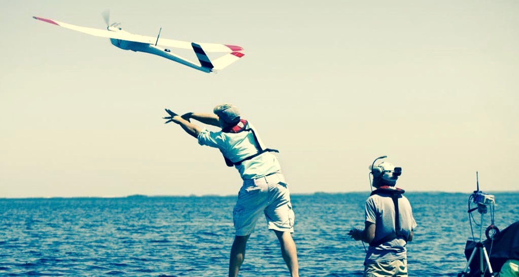
The UF Unmanned Aircraft Systems Research Program has worked for nearly 18 years to pioneer the development of UAS technology as a tool for aerial imagery collection for natural resource applications.
The initial motivation to explore UAV applications for natural resource applications was to save lives. Due to the challenging terrain and low altitudes characteristic of aerial surveys, light aircraft crashes are the leading cause of workplace mortality among wildife biologists. Despite this fact, thousands of flights are performed annually to perform these critical surveys as no suitable alternative previously existed.
Once the initial concept of utilizing UASs to augment manned flights was proven feasible through preliminary pilot application projects, subsequent development resulted in 6 generations of fixed-wing unmanned systems. Building on experiences gained and subsequent lessons learned, the Program enhanced its interdisciplinary scope with the inclusion of researchers from the UF Department of Mechanical and Aerospace Engineering.
This partnership brought advancements in vehicle capabilities, improving flight performance and navigational accuracy while increasing durability for operations in challenging locales. As a suitable sensor platform became available, additional expertise was contributed by researchers from the UF School of Forest Resources and Conservation's Geomatics Program, who then focused the Program's efforts on the development of improved imaging payloads for aerial mapping.
The latest generation fixed-wing sUAS is the result of intensive cooperative development between biologists who specify the imagery data products and operational constraints they require, geomaticists who then develop a suitable payload to meet those needs, and aerospace engineers who finally design and build the airframe to optimally exploit the payload in the specified environment. As the latest system is currently producing valuable aerial imagery products, there is an ongoing development push toward optimizing the methodology of data acquisition and improving the processing and analysis required to turn "pretty pictures" into valuable scientific data to assist biologists and project leads in making better informed assessments and management decisions.
